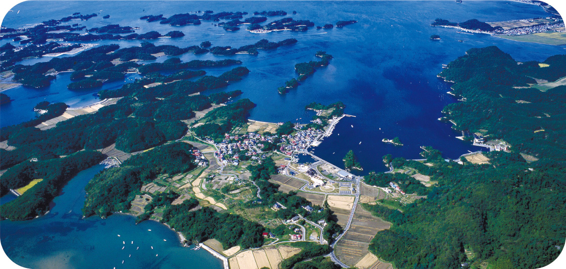
Matsushima has been known as a scenic spot since ancient times, and is considered one of the 'Three Views of Japan' along with Miyajima (Hiroshima Prefecture) and Amanohashidate (Kyoto Prefecture). Matsushima’s beauty lies in its archipelago of more than 260 islands of various sizes, and its natural landscape of white rock faces and green pine forests reflected in the blue sea. Matsushima Bay’s topography, reminiscent of a miniature Japanese garden, was formed about 7,000 years ago. It dates back to the early Jomon period. After the Ice Age, the sea level rose due to global warming, and the bay has remained largely unchanged since then.
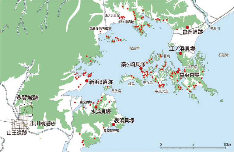
Although it is a small bay, measuring only 10 km from east to west and 8 km from north to south, the small size of the rivers flowing into the bay has dampened alluviation,* and the natural environment, including the coastline, seems to have remained largely unchanged. This can be seen from the distribution and scale of shell mounds along the coast of Matsushima Bay. With about 70 sites discovered along its coast, Matsushima Bay is known as an area with a high concentration of shell mounds from the Jomon period. Other areas with high concentrations of shell mounds include the coast of Tokyo Bay and Kasumigaura.
Some of the largest shell mounds in Japan, such as Satohama Shell Mound (Higashimatsushima), Nishinohama Shell Mound (Matsushima), and Daigigakoi Shell Mound (Shichigahama), are found where villages were established for a long period of time. Matsushima’s natural environment, which remained unchanged throughout the Jomon period, must have supported an abundant lifestyle for the Jomon people who left behind many shell mounds.
*This is the process by which running water carries and deposits sediment at the mouths and banks of rivers.


